
The earth's surface is the most fundamental element in virtually all GIS
applications, because it influences or determines most geographic phenomena,
from river networks to road networks, retail sites to recreation sites,
hazardous areas to havens. We have decades of experience mapping, modeling,
analyzing, and visualizing terrain from local to global scales. We
have developed expertise and custom tools for solving a wide range of applied
challenges involving the earth's surface.
Terrain: Topography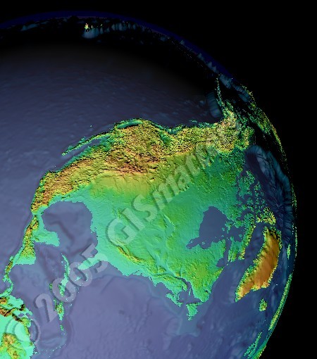
Click to see larger in another window If you are interested in exquisite large-format art prints of terrain and satellite imagery, we recommend a look at the work of our friend Jay Hart at Earth Pattern. He has an eye for color, composition, and landform that results in surprising, fascinating, and captivating earth art. |