GISmatters produces maps and other graphics for a variety of
publications and presentations. We work with you to understand your design
goals, identify and develop data resources, and deliver ready-to-use output in
electronic or hardcopy format, whether it's destined for print, screen, the
web, or somebody's living-room wall.
Presentation: Technical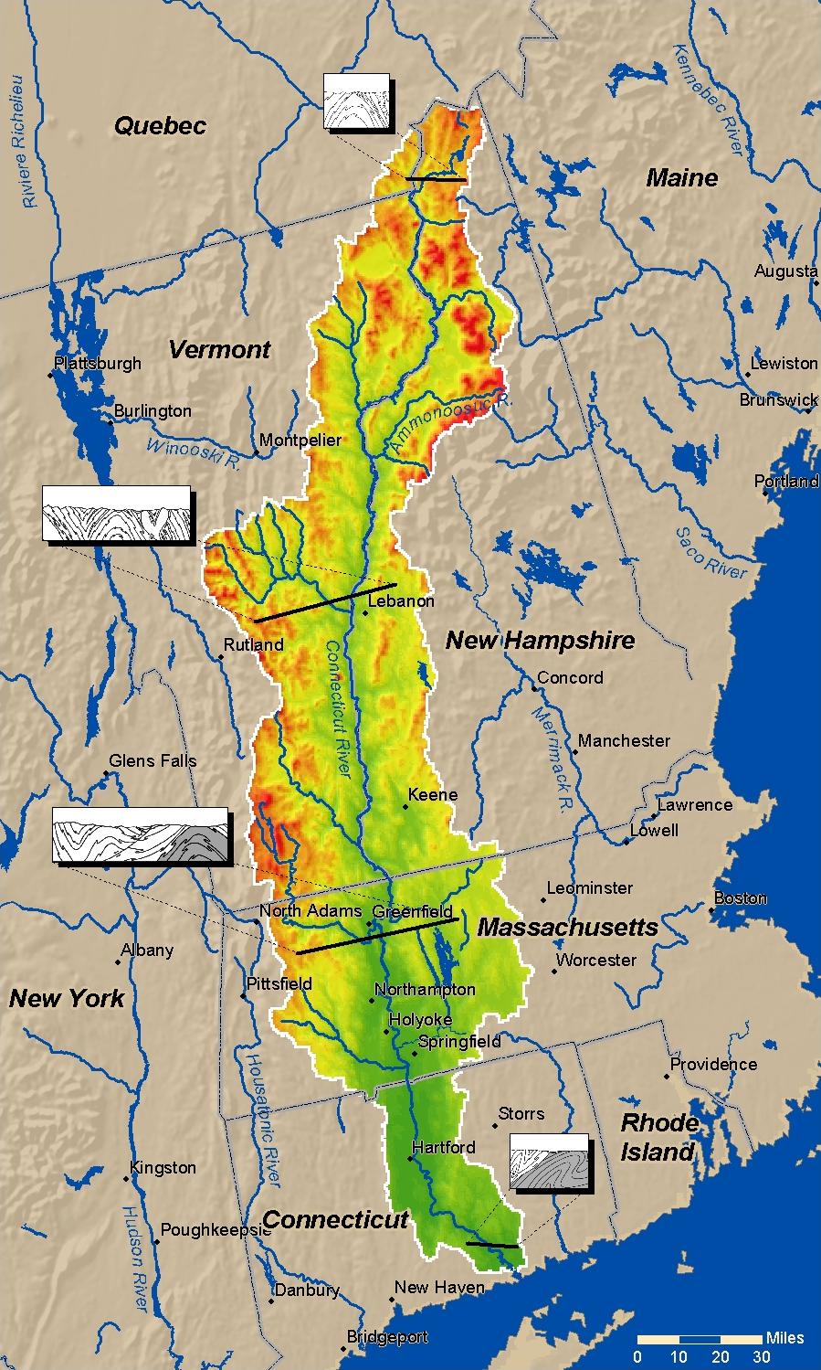
Click to see larger in another window
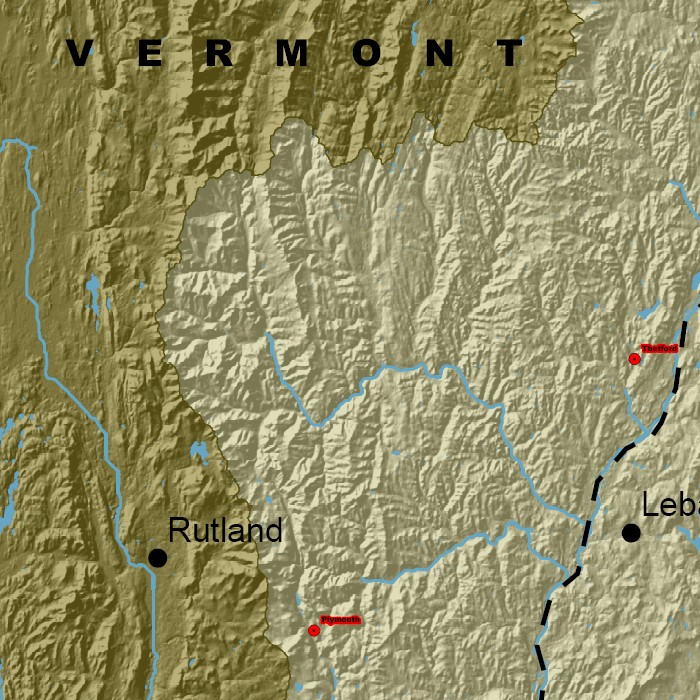
Click to see detail in another window
We produced a variation of this map (bottom right) for the new Amherst College Pratt Museum of Natural History to display the Connecticut River valley geography and geologic sites of interest related to the museum specimens. |